Words Matthew Hatchwell Photographs Matthew Hatchwell
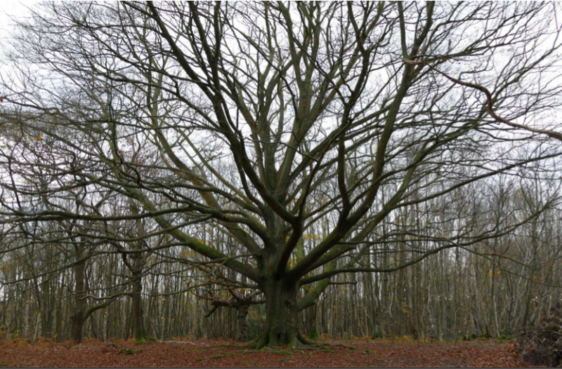
This magnificent beech is one of the highlights of the path through Blean Woods
The landscape around Faversham is rich in footpaths, many of them following routes that have remained unchanged for centuries. The most important of them, however – the ancient east-west route of colonising Roman settlers and later of pilgrims to the Shrine of St Thomas à Becket in Canterbury and travellers from London to the Continent – has been largely lost under four lanes of tarmac and traffic, leaving walkers, cyclists and horse-riders with no obvious direct path between Faversham and the Cathedral City.
On a recent autumn outing to Boughton parish church however, I was intrigued to notice on a stile outside Faversham a small round waymarker that I’d never seen before, for a long-distance footpath called the Augustine Camino. A quick Google search led me to a website and the discovery of a marked path leading from the centre of Faversham straight to Canterbury Cathedral, albeit by a more circuitous route than medieval pilgrims would have taken.
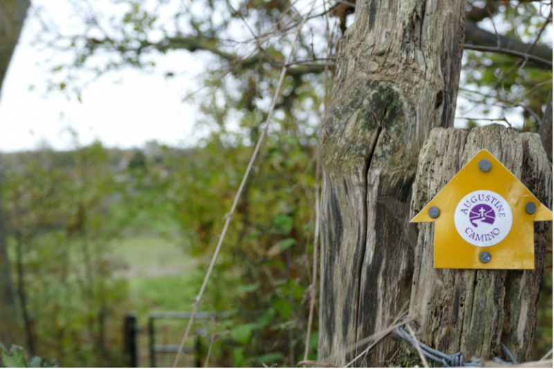
By the time you reach Boughton Church heading out of Faversham, the route is well marked
The Augustine Camino is a pilgrimage route from Rochester Cathedral to the Shrine of St Augustine in Ramsgate on the Isle of Thanet, where St Augustine landed in 597 on the orders of Pope Gregory to bring Christianity to the British Isles. According to the Venerable Bede writing in the 8th century, the evangelisation of the English was prompted by a papal pun. The story goes that he was walking with his retinue through a market in Rome when he saw some good-looking young slaves. ‘What people are these,’ he asked? ‘They are Angles,’ he was told, to which Gregory replied: ‘They are not Angles, but angels!’ (Non Angli sed angeli). As angels, of course they should worship the Christian God, so St Augustine was despatched to ensure their conversion.
The 12-mile path from Faversham to Canterbury is a modern simulacrum of the more direct, ancient pilgrimage route along Watling Street via Boughton-under-Blean. Apart from one short stretch of a few hundred metres where the path runs parallel to the decidedly secular M2 between Faversham and Brenley, it follows a fittingly tranquil route, is well-marked in most places, and punctuated with interesting features.
The first hint of the Augustine Camino as you leave Faversham towards the southeast is just beyond the grand Colkins farmhouse and outbuildings that survived the construction of Brenley Corner in the early 1960s. A right turn up a path beyond the level crossing takes you out into open fields and after a few minutes across the Brenley vineyard and towards the parish church of St Peter and St Paul at Boughton-under-Blean on a grassy knoll overlooking its rambling churchyard, managed today by Kent Wildlife Trust in association with Caring for God’s Acre.
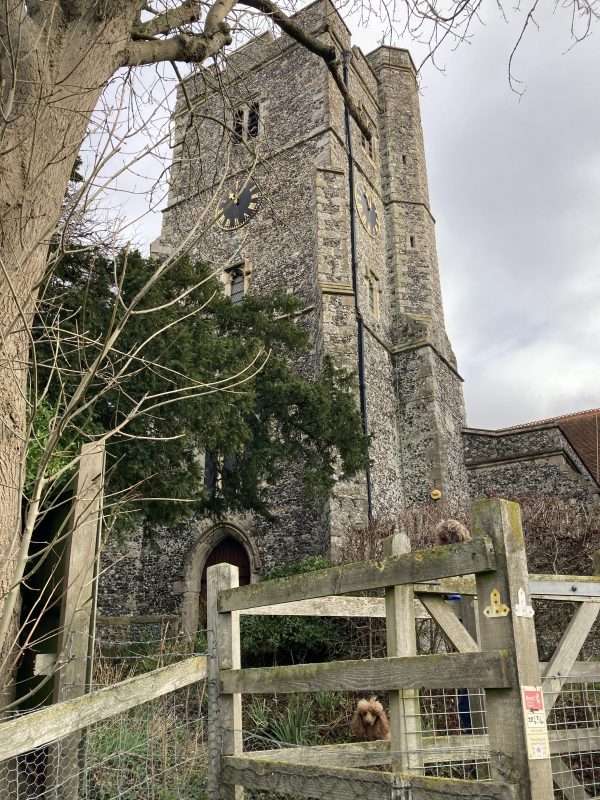
The church St Peter and St Paul at Boughton-under-Blean. At the gate, cross the road to the footpath opposite
From Boughton, the way ahead zigzags uphill to the South Blean woodland and beyond to Chartham Hatch, with a magnificent view of the Swale as you skirt open farmland south of Dunkirk. Blean Woods have probably survived for so long because they sit on heavy clay soil ill-suited to agriculture. The path is correspondingly wet in places. Like the rest of the Blean, the landscape you traverse is a mosaic of farmland, coppiced woodland dominated by sweet chestnut with oak standards, mixed native deciduous woodland, and former conifer plantations now being replanted with a more diverse range of species. If you’re lucky, in May or June you might spy a rare heath fritillary butterfly.
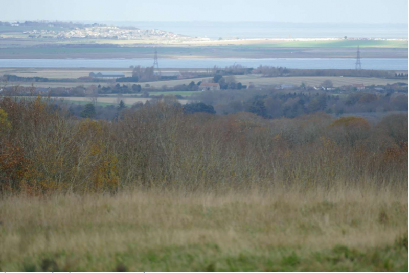
On a clear day you can see… Leysdown
In Chartham Hatch, the Camino joins the North Downs Way, threading past the No Man’s Community Orchard, owned by Chartham and Harbledown Parish Councils and managed by the Kentish Stour Countryside Partnership. No Man’s Orchard is the first in the UK to be designated as a Local Nature Reserve in recognition of its value for biodiversity and to encourage educational use. A little further on, Bigbury Camp is an Iron Age hillfort that may have been the site – in 55BC – of the first confrontation between the invading Roman legions of Julius Caesar and native Britons.
This is classic British countryside, with multiple dimensions that have become interwoven with each other over time to form a complex and intriguing landscape that often appears natural but in reality has been thoroughly shaped by millennia of human settlement.
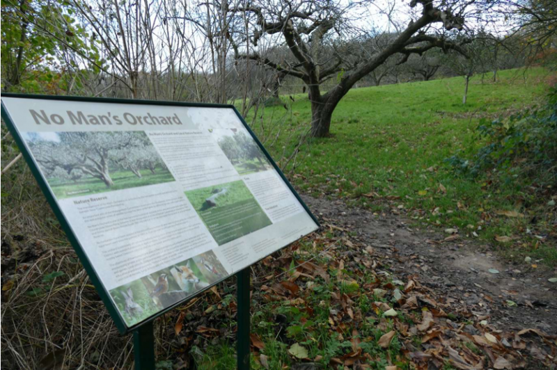
The fruit trees of No Man’s Orchard harbour a rich diversity of lichens and mosses
Between Bigbury Camp and Canterbury runs the all-too-human A2 dual carriageway. The official Augustine Camino route crosses it and makes a beeline for the cathedral by way of St Dunstan’s church, where the head of Thomas More – the former Lord High Chancellor of England beheaded by Henry VIII – lies interred along with the body of his daughter, Margaret Roper. Alternatively, you can go off-piste and turn right before the A2 towards the once-moated and fortified Tonford Manor, entering Canterbury instead along the Stour River through Hambrook Marshes. As you get your first glimpse of the Cathedral through the willows, give thanks to the brave citizens whose persistence recently prevented Canterbury City Council from converting this valuable wetland into a car park. We must hope they will be as successful in heading off CCC’s shocking proposal to build an eastern bypass through the Stodmarsh Site of Special Scientific Interest.
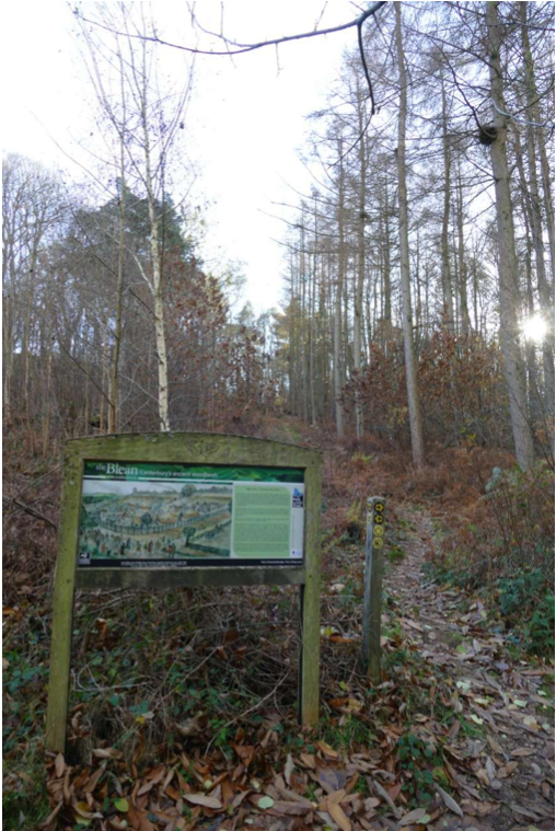
Earthworks are still evident at Bigbury Camp, where a commercial tree plantation is now being replaced by more diverse native woodland planted and managed by Kent Wildlife Trust
Before you know it, you’re in the manicured Westgate Gardens and five minutes’ walk from Canterbury East station for the train back to Faversham, from a pub to rest your legs after the four-hour hike, or from the Shrine of St Thomas à Becket at the Cathedral if you prefer your rewards deferred to the afterlife.
Text: Matthew Hatchwell. Photographs: Matthew Hatchwell
Details of the walk can be found on the Augustine Camino site which is worth taking with you as the way is marked with tiny stickers and it is sometimes easy to miss them.