Faversham Life
Faversham Life
Words Faversham Life Photographs Faversham Life
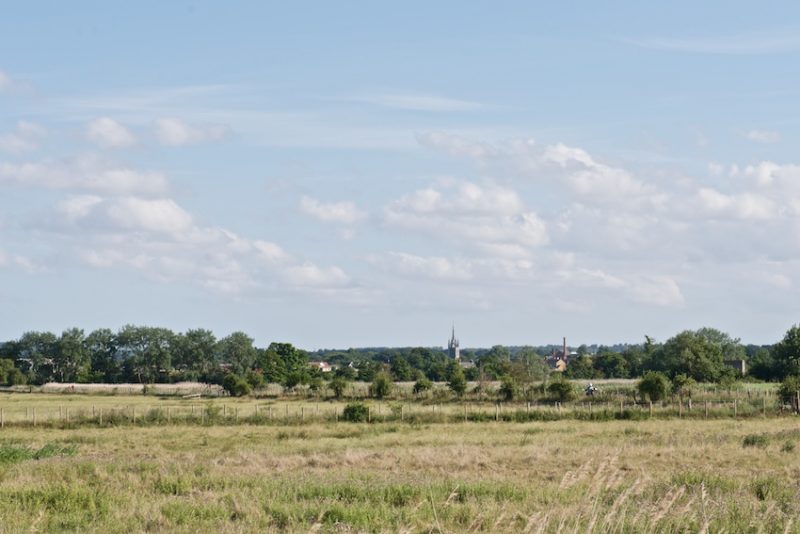
What better way to appreciate Faversham than to circumnavigate it. A distant view is reminiscent of an 17th Dutch landscape painting
The days are getting longer, the skies sometimes bluer and you may, like Faversham Life, feel that it’s time to stride out again. When it is still wintry, what is more pleasant than to come home, muddy, exhilarated, yet weary from walking, and collapse on the sofa with tea and cake. The benefits and joys of walking are described unimproveably by Richard Oldfield, an intrepid walker, and stalwart reader of and occasional contributor to Faversham Life, who recently made a circular walk of London with a radius of five miles from Hyde Park Corner. He wrote about it in Tortoise Media: ‘We all know that walking is a good thing, not just physically. There is something about the plod, plod, plod, the chant-like rhythm, the breathing, the one foot after the other, the waving of arms backwards and forwards: after an hour all this takes the walker to a different plane. . . Walking allows rumination, digressions and meanderings of foot and mind.’
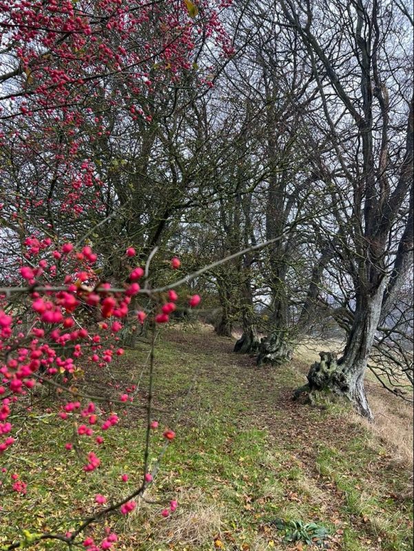
Over the years, Faversham Life has discovered some of the best walks around Faversham. Our first walk was The Two Creeks Walk in the summer of 2017 and is still one of our most frequently read articles. ‘One of the many joys of Faversham is that it is possible to stride out from the centre of the town for a heavenly walk without jumping into a car. Spoilt for choice, as is so often the case in Faversham, walkers have two excellent routes to the northwest of Faversham, the Two Creeks Walks. Both encompass magical estuary views, plenty of boats and intertidal mud flats and salt marsh and corridors of reed beds.’ The routes to these walks can be found if you click here.
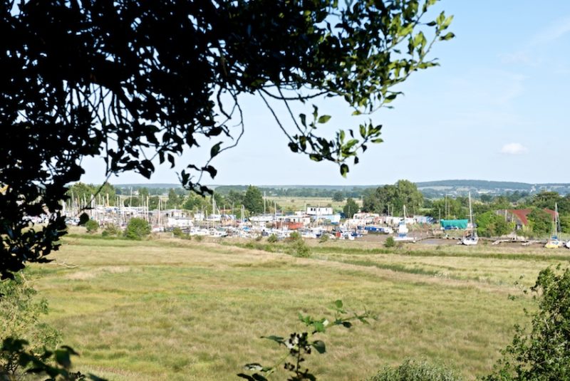
View from Oare over the Creek to Faversham
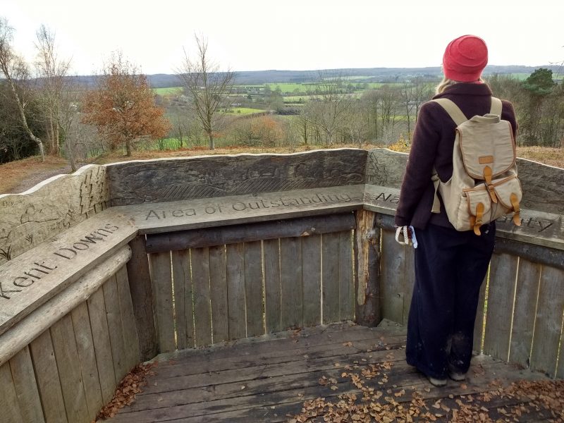
The Winter Walk that year headed inland through the Lees Court Estate and Perry Woods on a frosty day in December. It was the first appearance of Maus, a bouncy young poodle at this point, and enthusiastic Faversham Life walker. On this walk, we heard the story of the silversmith who invited his horse into his house on cold nights, made a diversion to the icehouse at Lees Court, and had hunger satisfied at the Rose and Crown.
‘Dogs and walkers were welcome and the food was hearty. An hour later, fortified with steak and kidney pudding, we tramped up through the woods to the Pulpit. 500 metres above sea level, we could see Kings Wood draped across the horizon to the south, and looking back towards Faversham, the radar mast at Dunkirk and the Swale beyond.’
The route for this walk can be found here.
The Pulpit in Perry Wood, looking towards Kings Wood
In May the following year, we walked that well-trodden path from Faversham to Whitstable along the Swale, which is now the site of one of the largest solar parks in the country. We have not made that Walk on the Marshes since.
The Ruins Walk took us to a hidden tower and a grafitti-covered World War II radar station.
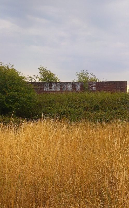
The derelict radar station at Dunkirk
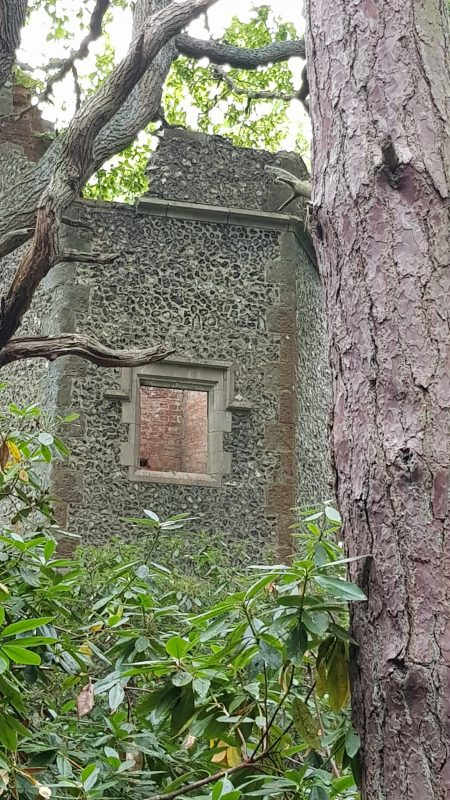
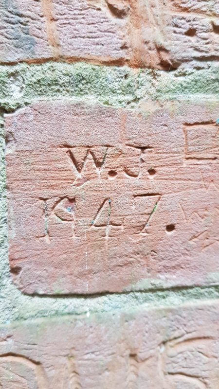
A tantalising glimpse of the Dawes tower
Amicia wrote: ‘I set out early one morning with fellow Faversham Life writers, Posy Gentles and Justin Croft, on a mission to find the mysterious, romantic-sounding, ruined tower that Posy had enticingly described, located in a wood near Mount Ephraim, the ancestral home of the Dawes family. Driving north from Boughton Street on the Dawes Road, with Clay Pits Wood on our right, we parked at what the Dawes call the Cross Roads. Bridleways in two directions straddle the road. We opted for the northwards Tower Wood track which splits into two after about 150 yards. To the right is the Red Road through Blean Wood – so called as its core is made up of broken waste from an old pottery that once stood near the Cross Roads.
‘We forked left. At this point, there are truly spectacular far-reaching views encompassing Mount Ephraim and Nash Court, both handsome red-brick mansions, Hernhill church, and the Swale stretching out to the sea in the far distance. The panorama is every bit as fine as those much better known views over the Weald from the Greensand Way.
‘Our quest for the tower (marked on the Ordnance Survey map) at first proved somewhat difficult as we hacked through a seemingly endless jungle of overgrown rhododendrons and peered through the dense vegetation for any sign of a tower in the depths of Crockham Wood. A century ago it was very different, as Sandys Dawes told me. “During the time of my great-grandfather, Willie (he died in 1920), the Tower Road was made with benches for the public to sit on to enjoy the views.”’
Walking further up towards Dunkirk, we came to the radar station, a derelict building from World War II. They were quite different ruins, yet both buildings had inspired graffitists decades apart who had each made their mark.
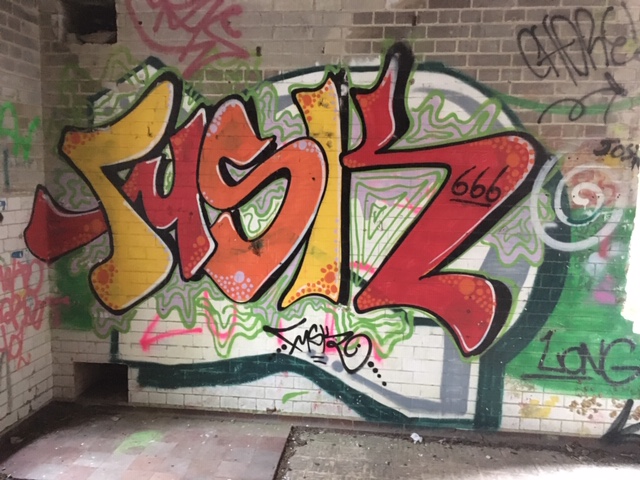
Recent graffiti at the Radar station
Graffiti in the Dawes tower
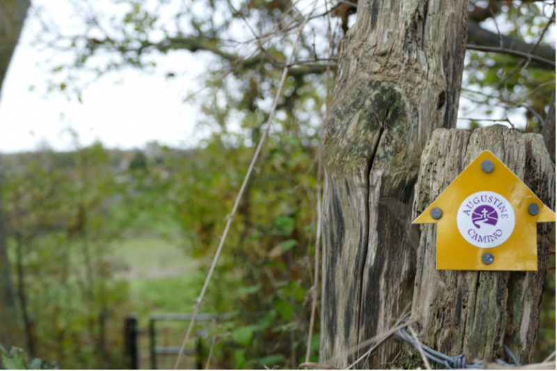
The next two walks, in December and January, covered two stretches of the Augustine Camino, a pilgrimage route which trails circuitously from Rochester Cathedral to the Shrine of St Augustine in Ramsgate on the Isle of Thanet. The route can be discovered from clicking on the previous link and is marked by rather small stickers so it is best to have a map. A Walk from Faversham to Canterbury along the Augustine Camino was written by our occasional and distinguished contributor, Matthew Hatchwell.
By the time you reach Boughton Church heading out of Faversham, the route is well-marked
Matthew wrote: ‘The landscape around Faversham is rich in footpaths, many of them following routes that have remained unchanged for centuries. The most important of them, however – the ancient east-west route of colonising Roman settlers and later of pilgrims to the Shrine of St Thomas à Becket in Canterbury and travellers from London to the Continent – has been largely lost under four lanes of tarmac and traffic, leaving walkers, cyclists and horse-riders with no obvious direct path between Faversham and the Cathedral City.
‘On a recent autumn outing to Boughton parish church however, I was intrigued to notice on a stile outside Faversham a small round waymarker that I’d never seen before, for a long-distance footpath called the Augustine Camino. A quick Google search led me to a website and the discovery of a marked path leading from the centre of Faversham straight to Canterbury Cathedral, albeit by a more circuitous route than medieval pilgrims would have taken.’
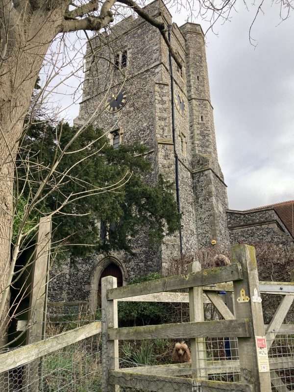
The church St Peter and St Paul at Boughton-under-Blean. At the gate, cross the road to the footpath opposite
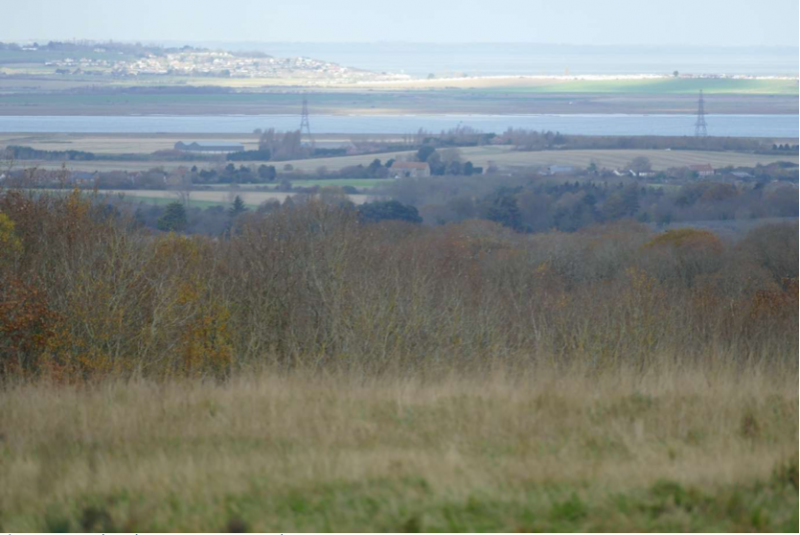
On a clear day you can see… Leysdown
On a muddy December morning, we walked the leg from Doddington to Faversham. We had evidently become blasé by then, describing the not inconsiderable hike as A Stroll along the Augustine Camino Way.
‘The walk began auspiciously at the intriguing parish church, situated on a hill above the village of Doddington and dedicated to the Beheading of St John the Baptist. Doddington shares this somewhat alarming dedication with one other church, in Trimingham, Norfolk. The tower, weatherboarded in the 19thcentury, is savagely dismissed by Pevsner as “absurd” but persevere, and step inside to marvel at the mid 13th century wall painting of St Francis receiving the stigmata. It is believed to be the earliest known depiction of the saint in the country. It was referred to in the recent St Francis exhibition at the National Gallery.’
Walking along an old drovers’ track as we leave Doddington
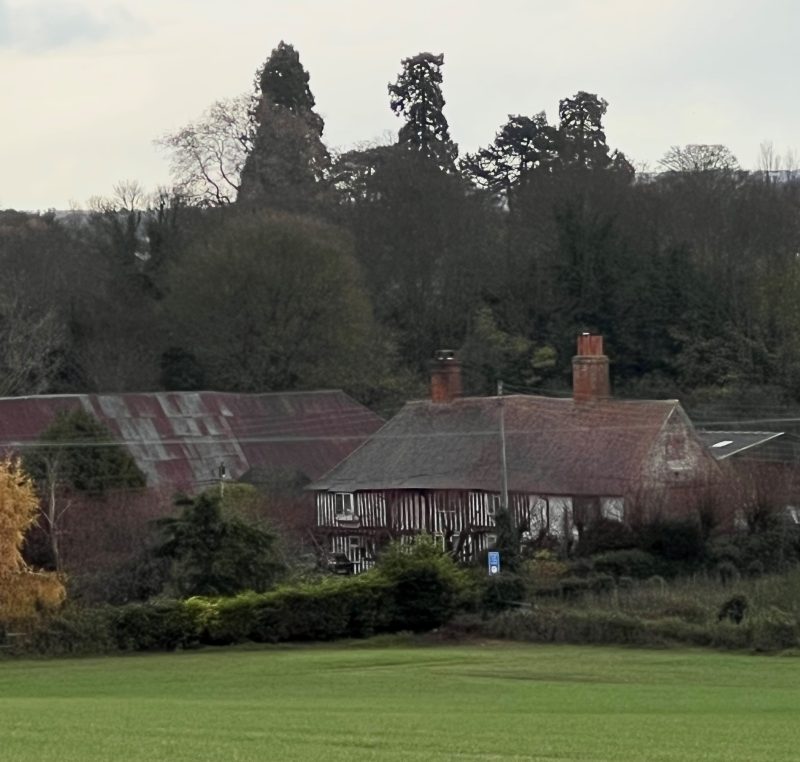
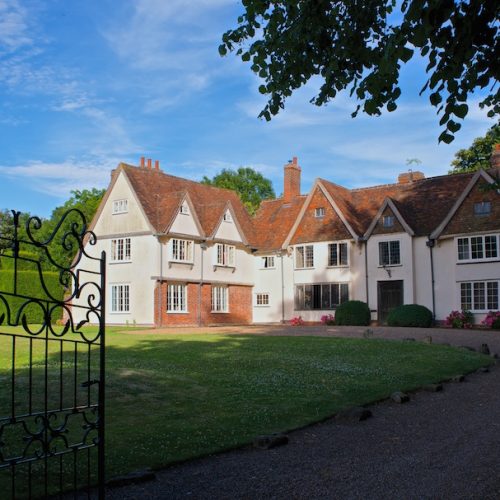
The ancient Wealden Hall house in Ospringe, Queen Court, dating from c 1500
The walk took us cross country until we descended the hill into Ospringe.
‘Once in Faversham, just before the Almshouses, we took a left turn to the Catholic church of Our Lady of Mount Carmel in Tanners Street (see FL article), and explored the national Shrine of St Jude – the Apostle of Hope. The shrine was founded in 1955 by Carmelite friar Fr Elias Lynch to bring hope to the postwar generation. There is much to see including the Augsberg Reliquary containing a bone fragment of St Jude and a serene set of icons.’
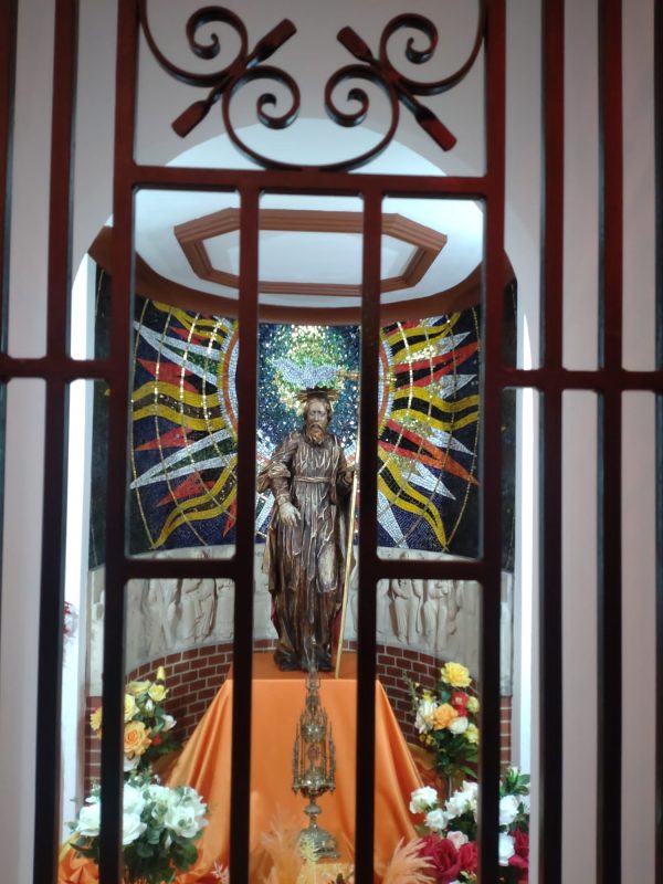
The Shrine of St Jude in Tanners St marked our destination
Faversham Life’s most recent Winter Walk took us back to the Swale.
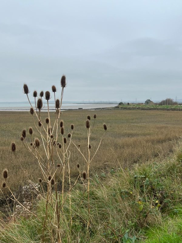
‘We set off from the Harty Ferry car park at Oare, looking across the Swale estuary to what was once the Isle of Harty but is now part of the Isle of Sheppey.
‘Edward Hasted, the great antiquarian and author of The History and Topographical Survey of the County of Kent 1778-99, describes Harty as being grazed by “4,000 sheep …. there is no village only six lookers cottages (small brick huts for shepherds) …. being the only inhabitants, the unhealthiness of the air deterring all others from attempting to dwell in it”. By Hasted’s time, Harty had ceased to be a true island as the channel had silted up. The ferry, plying to and fro from Oare to Harty, ran until 1941 when it disintegrated and was never replaced.’
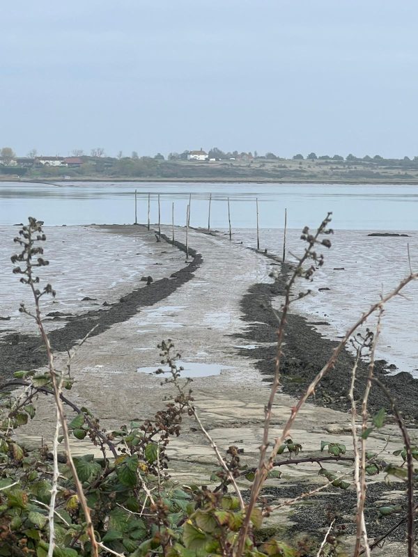
The ferry, plying to and fro from Oare to Harty, ran until 1941 when it disintegrated and was never replaced
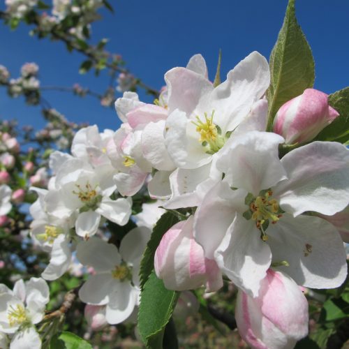
We turned inland at Conyer Creek and returned to Oare cross country through apple orchards, passing ancient churches and hall houses.
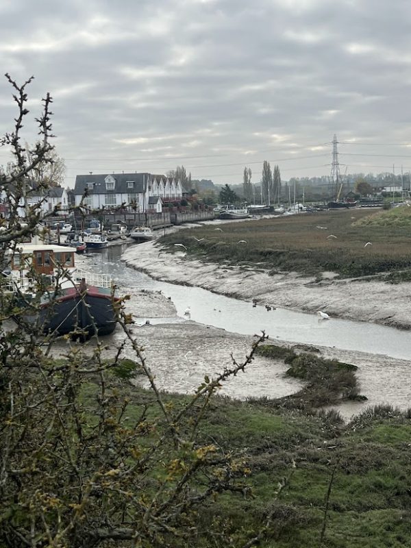
Conyer Creek
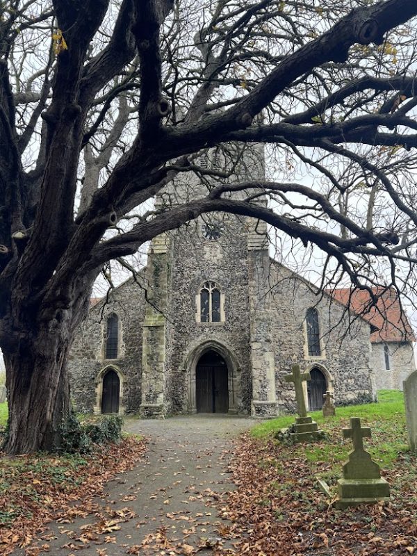
St Mary, Teynham
Coming back to Oare and our starting point
This year, Faversham Life is planning a walk in Sheppey and also (slightly further afield but still quite possible as a day trip from Faversham), to undertake The Broomway Walk at Maplin Sands known as ‘The deadliest path in Britain’. Should at least one of us return, we will be writing this up later in the year.
Until then, we hope you will find this review of Faversham Life’s walks since we started in September 2016 useful and that it inspires you to haul on your boots.
Text and photography: Faversham Life